
Examinations
Error in the legal description on a deed: how a surveyor finds it and how it is corrected
A deed can name the wrong lot, leave out a block or unit number, put the land in the wrong section, township or range, or carry a metes and bounds description that does not close. A surveyor finds the error by plotting the description against the recorded plat, the neighbors' deeds and the monuments on the ground. Florida lets one narrow class of errors be cured by a recorded notice. The rest need a corrective deed or a court.
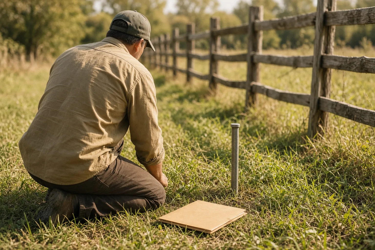
What counts as an error in a deed's legal description?
A wrong or missing lot, block or unit number, a wrong section, township or range, or a metes and bounds description that does not close. A grantor without record title is a separate defect in the deed.
The Indian River County Property Appraiser in Florida publishes the list of problems its office flags in recorded deeds. Typographical errors such as transposed lot numbers, missing block or unit numbers, incorrect section, township or range numbers in descriptions based on the Public Land Survey System, and metes and bounds descriptions that do not close are on it. The same list names two defects that sit outside the description itself: a grantor who does not hold title of record, and joint tenants who are not all listed as grantors.
The office tells owners to locate a parcel by its legal description, not by the street address, the parcel number or the short property description shown on its website. It calls that website text a condensed version that "should not be considered a bona fide legal description." Previously recorded warranty deeds are named as the preferred source for a description.
Florida's statute on scrivener's errors, section 689.041 of the Florida Statutes, defines a much narrower class. A scrivener's error is a single error or omission in the legal description of the intended real property, and only three kinds qualify. The first is one lot or block identification of a recorded platted lot; transposing the lot and the block counts as one error. The second is one unit, building or phase identification of a condominium or cooperative unit. The third is one directional designation or numerical fraction of a tract described as a fractional part of a section, township or range.
A wrong bearing or distance in a metes and bounds call is not on that list. A wrong acreage figure is not on it either. Those errors are found by a survey and corrected by the routes described further on.
How does a surveyor find the error?
The surveyor plots every call of the deed on one map with the recorded plat, the earlier deeds in the chain and the neighbors' deeds, then compares the result with the monuments, fences and buildings found on the ground.
The work starts with records. The surveyor collects the deed in question, the deeds before it in the chain of title, the recorded plat if the land is platted, the original field notes where they survive, and the deeds of the adjoining parcels. A lot and block description is checked against the plat sheet: whether that lot number exists in that block, whether the platted dimensions and frontage match the land the owner occupies, and whether the lots on either side match the neighbors' deeds.
A metes and bounds description is checked by computation. Each call gives a bearing and a distance, and the calls plotted in order must return to the point of beginning. When they do not, the distance between the last computed point and the first one is the misclosure. The surveyor then looks for the call that produces it, for example a bearing in the wrong quadrant, two transposed digits in a distance, or a call dropped when an older description was retyped.
Then comes the field. The surveyor searches for the original monuments, measures with GNSS receivers and a total station, and compares the measured bearings and distances with the calls in each deed. Fences, driveways and buildings are located relative to the line, so the report can state whether the owner occupies the lot the deed names or the lot next to it.
Where an old description no longer fits the ground, the Indian River County page says that "a surveyor can provide a sketch and matching legal description." The sketch does not change the recorded deed. For a deed the office has flagged, the same page says that a new or corrective deed may need to be recorded with the Clerk of Courts.
Why does Florida law ask whether a deed has one error or several?
Section 689.041 cures only a single error of one of three listed kinds. The statute says the term scrivener's error does not include any error in a document that contains multiple errors.
The history note on the Florida Senate page for section 689.041 cites chapter 2020-33, Laws of Florida. The statute applies to an "erroneous deed," defined as any deed, other than a quitclaim deed, that contains a scrivener's error. Its definition ends with an exclusion: "The term 'scrivener's error' does not include any error in a document that contains multiple errors."
In a Florida case the surveyor therefore lists every discrepancy between the deed and the records, including those the owner did not notice. One wrong lot number, with every other element of the description matching the plat, fits the statute. A wrong lot number together with a wrong unit number or a wrong section reference in the same deed does not.
The comparison also covers the grantor's other holdings. Under subsection (2)(b), within the 5 years before the record date of the erroneous deed, the grantor must not have held title to any other real property in the same subdivision, condominium or cooperative development, or in the same section, township and range described in the deed. The sworn statement in the statutory form words the same check by reference to the date the deed was executed, so the records search covers both dates.
Two more conditions close the list. Under subsection (2)(a), record title to the intended property was held by the grantor of the first erroneous deed when that deed was executed. Under subsection (2)(c), the intended property is not described exclusively by a metes and bounds description.
How does a curative notice fix a scrivener's error in Florida?
A sworn notice in the form set out in section 689.041(3) is recorded in the county where the land lies. It corrects the first erroneous deed and every later deed with the identical error, and the correction relates back.
Subsection (2) states the result directly: a deed that contains a scrivener's error conveys title to the intended real property as if there had been no error, and each later deed with the identical error does the same, if all four conditions apply. The fourth condition is a curative notice recorded in the official records of the county in which the intended real property is located.
The form is titled "Curative Notice, Per Sec. 689.041, F.S." with the subtitle "Scrivener's Error in Legal Description." The person making it identifies the first erroneous deed by its parties, dates, recording information and county, and quotes its erroneous description. The notice then lists each later deed in the chain that repeats the same description and states that the records show the grantor of the first deed held record title when it was executed.
The person signing certifies that he or she examined the records, or had someone else examine them, and that the grantors held no other property in the same subdivision, condominium, cooperative or section, township and range during the 5-year period, and that the property is not described by metes and bounds. The notice describes the intended property and ends with a signature, a printed name and a notary jurat. The statute does not name who must sign.
Under subsection (4) the clerk of the circuit court where the land lies "shall accept and record" curative notices in that form. Under subsection (5) a recorded notice operates as a correction of the first erroneous deed and of later deeds with the same error, and releases any cloud the erroneous deeds placed on land other than the intended property. "The correction relates back to the record date of the first erroneous deed."
What if the curative notice does not apply?
Section 689.041(6) says its remedies are not exclusive. The Indian River County Property Appraiser tells owners that a new or corrective deed may need to be recorded with the Clerk of Courts to remedy a flagged deed.
The notice is unavailable in six situations under the statute: the deed is a quitclaim deed; it contains more than one error; the error is of a kind outside the three listed; the property is described only by metes and bounds; the grantor held other property in the same subdivision, development or section within the 5-year window; or the grantor of the first erroneous deed did not hold record title to the intended property.
For deeds its office flags, the Indian River County Property Appraiser says some issues can be cleared without recording anything new. Otherwise "a new or corrective deed may need to be recorded" with the Clerk of Courts. The page adds that the original deed "will remain classified as an error by this office," and that recorded deeds "cannot be unrecorded, deleted or withdrawn."
When no corrective deed can be obtained, the owner's attorney chooses a court remedy under the law of the state where the land lies. In that case the surveyor's plots, field measurements and chain of title become evidence, and the rules in the next sections govern how a court receives them.
Which records can prove what land the deed was meant to describe?
In federal court, recorded deeds and plats can come in under hearsay exceptions 803(14) and 803(15). Community reputation about boundaries that arose before the dispute falls under Rule 803(20).
Rule 803(14) of the Federal Rules of Evidence covers the record of a document that purports to establish or affect an interest in property, if the record is admitted to prove the content of the original recorded document and its signing and delivery, the record is kept in a public office, and a statute authorizes recording documents of that kind in that office. Deeds and plats recorded with a county clerk meet that description.
Rule 803(15) covers a statement contained in such a document if the matter stated was relevant to the document's purpose, "unless later dealings with the property are inconsistent with the truth of the statement or the purport of the document." For that clause the surveyor's chain-of-title table lists the later dealings: every deed, plat and survey recorded after the deed in dispute, with the lot or tract each of them names.
Rule 803(20) admits a reputation in a community concerning boundaries of land in the community, if the reputation arose before the controversy. The surveyor records who gave each account of an old fence or corner and when, so the court can see that the reputation predates the dispute. Florida state courts apply the Florida Evidence Code; the federal rules are cited here for federal cases.
How does a court test the surveyor's conclusion about the error?
Under Rule 702 as amended in 2023, the party offering the surveyor must show the court that it is more likely than not that the opinion rests on sufficient facts or data and reliable methods reliably applied.
Rule 702 lists four requirements for expert testimony. Two of them carry most of the weight in a description dispute: the testimony "is based on sufficient facts or data," and it "is the product of reliable principles and methods." A surveyor who plotted the deed without the plat, or retraced the line without looking for the original monuments, is open to challenge on the first requirement.
Surveying is technical work, and in Kumho Tire Co. v. Carmichael, 526 U.S. 137 (1999) the Supreme Court held that the trial judge's gatekeeping duty under Daubert extends to testimony based on technical and other specialized knowledge.
In General Electric Co. v. Joiner, 522 U.S. 136 (1997) the Court wrote that "a court may conclude that there is simply too great an analytical gap between the data and the opinion proffered." In a deed case the gap usually sits between a computed misclosure and a claim about which parcel the parties meant. The surveyor closes it with records: the plat, the earlier deeds, the neighbors' deeds and the location of improvements on the ground.
What should the surveyor's report and field work include?
A retained surveyor's report states each opinion with its basis, the facts or data considered and exhibits such as plats and overlay maps. Under Rule 34(a)(2) a party may request entry onto the other side's land to survey it.
Under Rule 26(a)(2)(B) of the Federal Rules of Civil Procedure the written report of a retained expert contains a complete statement of all opinions and the basis and reasons for them, the facts or data considered, any exhibits used to summarize or support them, the witness's qualifications with publications from the previous 10 years, a list of cases with testimony at trial or by deposition in the previous 4 years, and the compensation for the study and testimony. In a description dispute the exhibits are the overlay of the deed calls on the plat, the closure computation and the field map.
Where the corners or improvements sit on land the other party controls, a party may use Rule 34(a)(2) to ask the other side "to permit entry onto designated land or other property possessed or controlled by the responding party, so that the requesting party may inspect, measure, survey, photograph, test, or sample the property." The written response is due within 30 days after service under Rule 34(b)(2)(A).
If the other side has already disclosed a surveyor, a report intended solely to contradict or rebut that evidence on the same subject is due within 30 days after the other party's disclosure under Rule 26(a)(2)(D)(ii), unless the parties stipulate or the court orders otherwise.
What does IAE prepare when a deed description is disputed?
For boundary, quiet title and encroachment cases in US courts, IAE prepares an expert report on the client's questions and a review of the opposing surveyor's report, in up to 5 business days after the format and cost are confirmed.
The surveyor collects deeds, recorded plats and original field notes for the parcel and its neighbors, searches for the original monuments, measures with GNSS and a total station, and compares measured bearings and distances with the calls in each deed. Both descriptions are plotted on one map, and the surveyor computes the area of each overlap or gap and locates fences, driveways and buildings relative to the line. The client sends the deeds, plats and any prior surveys with the request.
The secretariat confirms receipt the same day. Within one business day IAE confirms the format, the cost, the deadline and the specialist from its registry, and the client approves the candidate and the CV before work starts. For cases with tight deadlines there is a 48-hour rush. The specialist is a member of the public IAE registry and can be verified by Member ID or QR code.
Materials go through the contact form or to info@iaexperts.com and are not passed to third parties without the client's consent. IAE is not a law firm and does not advise on case strategy; legal questions, including the choice between a curative notice, a corrective deed and a lawsuit, are for the client's attorney.
Sources
- Florida Statutes 2025, section 689.041, Curative procedure for scrivener's errors in deeds (Florida Senate)
- Indian River County Property Appraiser, Deed Information: Recorded Deeds, Errors and Omissions
- Federal Rules of Evidence, Rule 803, Exceptions to the rule against hearsay (LII, Cornell Law School)
- Federal Rules of Evidence, Rule 702, Testimony by expert witnesses (LII, Cornell Law School)
- Kumho Tire Co. v. Carmichael, 526 U.S. 137 (1999) (LII, Cornell Law School)
- General Electric Co. v. Joiner, 522 U.S. 136 (1997) (LII, Cornell Law School)
- Federal Rules of Civil Procedure, Rule 26, Duty to disclose; general provisions governing discovery (LII, Cornell Law School)
- Federal Rules of Civil Procedure, Rule 34, Producing documents, electronically stored information, and tangible things, or entering onto land (LII, Cornell Law School)
Read also
All articles
Neighbor removed the survey markers: is it illegal, who pays to reset them, and what does the surveyor document?
A survey is finished, the corners are pinned, and a week later the pins are gone. In Washington intentionally disturbing a survey monument is a gross Sergei Voronin
Tree on the property line: who owns it, and how does a surveyor show where the trunk stands?
In California ownership of a tree follows its trunk: a tree whose trunk stands wholly on one lot belongs to that owner, and a tree whose trunk standsSergei Voronin
Road right of way and the property line: where does the public road end and my lot begin?
Where a lot meets a public road, the line is the edge of the right of way or a line the deed sets, not the edge of the pavement. In Florida a roadSergei VoroninExpert examinations
Ready to discuss your case?
Send the materials: the secretariat will confirm the format, cost, deadline and the specialist within one business day.