
Examinations
Waterfront property line: where does the boundary run along the water, and how does a surveyor prove it?
On tidal water in Florida the private parcel ends at the mean high-water line: section 177.28 declares it the boundary between the state's sovereign foreshore and privately owned upland. The line is the intersection of the mean high water plane with the shore, so it moves when the shore moves, and only a survey made under the Coastal Mapping Act by a licensed surveyor is admissible to locate it. Old plats with meander lines do not settle the question.
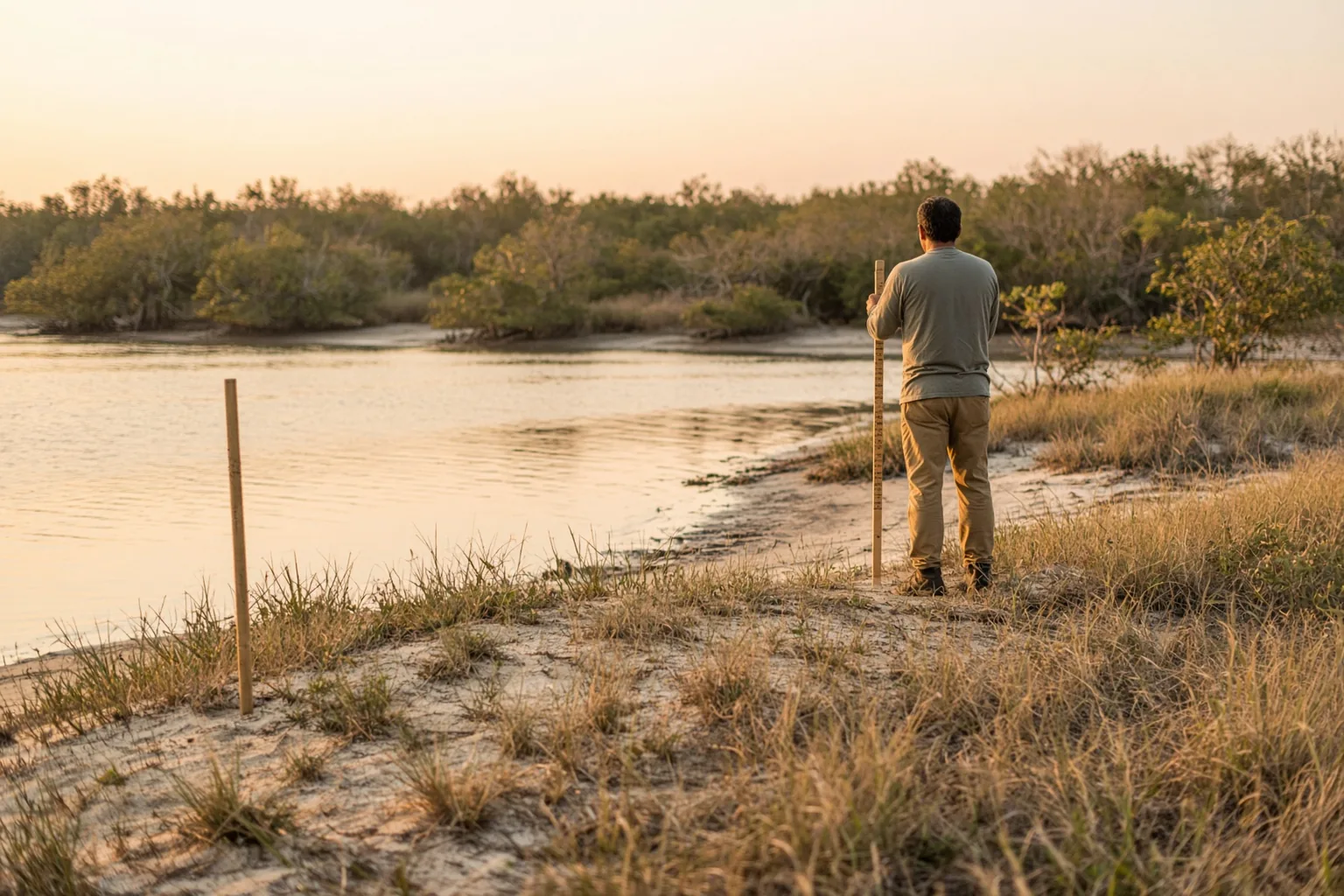
Where is the property line on waterfront land in Florida?
At the mean high-water line. Section 177.28(1) declares it the boundary between the foreshore owned by the state in its sovereign capacity and upland subject to private ownership, along shores bordering navigable waters.
Section 177.28(1) of the Florida Statutes provides that the mean high-water line along the shores of land immediately bordering on navigable waters "is recognized and declared to be the boundary between the foreshore owned by the state in its sovereign capacity and upland subject to private ownership." The section was enacted by chapter 74-56.
The same subsection protects two kinds of existing titles. No provision of the part waives state ownership of sovereignty submerged lands, and none impairs the title to privately owned submerged lands validly alienated by the State of Florida or its legal predecessors. A parcel whose deed reaches into the water can therefore rest on an old grant, and the surveyor's first task is to read the chain of title for one.
The U.S. Supreme Court described the same rule in 2010. In Stop the Beach Renourishment, Inc. v. Florida Department of Environmental Protection, the opinion states that under Florida law the mean high-water line "is the ordinary boundary between private beachfront, or littoral property, and state-owned land." The beach seaward of that line belongs to the state; the upland behind it belongs to the owner.
What is the mean high-water line, and how is it measured?
The intersection of the tidal plane of mean high water with the shore. Mean high water is the average height of the high waters over 19 years, so the line comes from tidal data.
Part II of chapter 177, the Florida Coastal Mapping Act of 1974, defines the terms. Mean high water is "the average height of the high waters over a 19-year period", with adjustments when the observations cover a shorter period. The mean high-water line is "the intersection of the tidal plane of mean high water with the shore." A tidal datum is a plane of reference for elevations determined from the rise and fall of the tides, and a local tidal datum is the datum established for a specific tide station through observations made at that station.
The surveyor therefore works in two steps. First the elevation of mean high water is established at the site from tide station data, either from a control station with 19-year values or from shorter local observations reduced by comparison with a control station. Then that elevation is staked or mapped on the ground, and the line follows the contour where the ground meets that elevation.
Section 177.38 sets standards for the first step: tide stations set up under procedures approved by the Department of Environmental Protection, control station records based on 19-year values, preservation of datums by tidal bench marks, and interpolation between stations within department standards. Under section 177.39 the line is located by methods the department approves for the area, and geodetic bench marks are not used unless the department approves.
Who may locate the mean high-water line for a Florida case?
A surveyor licensed by the Board of Professional Surveyors and Mappers, or a representative of the U.S. government approved by the department. Results meant for recording or for a court go to the department within 90 days.
Section 177.36 requires that the work of establishing local tidal datums and locating the mean high-water line be performed by qualified personnel licensed by the Board of Professional Surveyors and Mappers, or by representatives of the United States Government approved by the department.
Section 177.35 makes the standards apply to every agency or private party that establishes local tidal datums or locates the mean high- or low-water line, which must follow sections 177.37 to 177.39 and the department's supplementary rules. Section 177.37 requires the surveyor to send the results to the department within 90 days after completion of the work if the results will be recorded or submitted to a court or a government agency.
For litigation that filing is a check point. A reviewer asks whether the opposing surveyor's mean high-water work was reported to the department, and if not, why.
Is a mean high-water survey admissible if it did not follow the Coastal Mapping Act?
No. Section 177.40 makes maps and surveys made after July 1, 1974 that establish tidal datums or locate the mean high- or low-water line inadmissible unless they follow the part and are prepared by a person described in section 177.36.
Section 177.40 states the rule: maps or surveys made after July 1, 1974, that establish datums or locate the mean high-water or mean low-water line are inadmissible as evidence unless "made in accordance with the provisions of this part" and prepared by a person described in section 177.36.
That is an exclusion written into the statute, separate from the general rules of evidence. A survey that locates the line from a wrack line, a vegetation line or a scaled aerial photograph, without a tidal datum established under the department's procedures, faces exclusion on that ground before any argument about its accuracy.
The rule applies to surveys of the line itself. Old plats, deeds and field notes made before 1974 remain evidence of what earlier surveyors did, and they matter when the question is where the line was at a past date.
What happens to the boundary when the shoreline moves?
It depends on how the shore moved. Land added gradually and imperceptibly by accretion goes to the upland owner; land added or lost suddenly by avulsion leaves the boundary where it was. Section 177.28(2) keeps these common-law rules.
Section 177.28(2) provides that no provision of the part "shall be deemed to modify the common law of this state with respect to the legal effects of accretion, reliction, erosion, or avulsion." The mean high-water line is a moving boundary, and the common law decides who owns the land that the movement adds or removes.
The Supreme Court summarized the Florida rules in Stop the Beach. Accretion is the gradual addition of sediment; to count, the addition must occur "gradually and imperceptibly." The littoral owner takes title to land added by accretion. Avulsion is "a sudden or perceptible loss of or addition to land by the action of the water", and "formerly submerged land that has become dry land by avulsion continues to belong to the owner of the seabed."
For the surveyor this means the date matters. A line located today shows the present boundary only if the shore changed by accretion or erosion. After a hurricane, a channel cut or a fill project, the expert reconstructs the line as it stood before the sudden change, using older surveys, aerial photographs and tidal data for that period.
What changes when the state sets an erosion control line?
Under Florida's Beach and Shore Preservation Act, a recorded erosion control line replaces the fluctuating mean high-water line as the boundary, and the common law no longer adds land to the upland parcel by accretion.
Florida restores eroded beaches by placing sand seaward of the existing shoreline. Before such a project the Board of Trustees sets an erosion control line by reference to the existing mean high-water line (section 161.161(3)-(5), as described in Stop the Beach).
Section 161.191(1), quoted in the opinion, provides that the fixed erosion control line "replaces the fluctuating mean high-water line as the boundary." Under section 161.191(2), once the line is recorded "the common law ceases to increase upland property by accretion." Under section 161.201, as the opinion describes it, the owners keep their common-law riparian rights except the right to accretions.
The owners in Stop the Beach argued that this took their property. The Supreme Court decided the case on June 17, 2010 and affirmed the Florida Supreme Court: it could not say that the Florida decision eliminated a right of accretion established under Florida law. For a surveyor the practical step is to check the county records for a recorded erosion control line before locating any mean high-water line on a restored beach.
Is the meander line on an old plat the boundary?
Generally not. A meander line is a survey line run along the shore to compute area; courts treat the actual shoreline as the boundary. In Hawkins (Alaska 1966) and Fiehler (Alaska 2023) the meander line did not control.
Government surveys of land along water ran meander lines: straight courses that follow the general shape of the shore so that the surveyor can compute the area of the lot. Plats and deeds still show them. A meander line on a plat looks like a boundary, and owners on both sides of a dispute often treat it as one.
The Supreme Court of Alaska stated the general rule on February 14, 1966 in Hawkins v. Alaska Freight Lines, Inc., 410 P.2d 992: "The meander line is generally not the boundary line of the property along the shore"; the boundary is the actual mean high water line. In that case the defendants' fill made it impracticable to locate that line, so the court presumed that the meander line approximated the mean high water mark and placed the burden on the defendants to rebut the presumption. They did not, and the survey showed their road lay mostly landward of the meander line.
In Fiehler v. Mecklenburg in 2023 the same court repeated that "the true boundary of the meandered side of the property is the actual shoreline, not the meander line," and that a meander corner "merely establishes a point on a meander line."
How did surveyors rebuild a 1938 tide line in Fiehler v. Mecklenburg?
From tidal data, aerial photographs and adjustments for land uplift and sediment. The court found that the 1938 mean high tide line lay about 100 feet seaward of the monument the original surveyor set, and divided the accreted beach accordingly.
Fiehler v. Mecklenburg, decided by the Supreme Court of Alaska on November 17, 2023 (No. S-18208, Opinion No. 7672), concerned two adjacent beachfront homesteads near Juneau sharing a cove. The properties were surveyed in 1938 and platted in 1939. The survey marked their shared eastern boundary with a meander corner monument, and the surveyor's notes said it was set "at the line of mean high tide." Since then the beach had grown by accretion.
The central question was where the mean high tide line was in 1938, because the court apportioned the accreted land from that line. The Mecklenburgs' expert mapped historical tidal data onto a 1948 aerial survey, adjusted for isostatic rebound and sediment accretion, and concluded that the 1938 line lay roughly 100 feet seaward of the monument. The record contained no evidence that the original surveyor made tidal observations. Fiehler's expert relied on the surveyor's notes and the monument; on cross-examination he conceded that his own calculations put the 1938 line substantially seaward of the monument.
The superior court found that the monument did not mark the 1938 line and awarded most of the contested beach to the Mecklenburgs using the angle bisect method. The Supreme Court affirmed. It held that reconciling conflicting survey calls is different from correcting a survey, that the court could consider extrinsic evidence of the tide line because meander corners do not conclusively fix boundaries, and that the finding of a line about 100 feet seaward was not clearly erroneous.
What must the surveyor's expert report contain?
In federal court Rule 26(a)(2)(B) requires all opinions with their basis and reasons, the facts or data considered, exhibits, qualifications, prior testimony and compensation. Under Rule 702 each opinion must rest on sufficient data and a reliable method.
For a waterfront boundary the facts or data considered include the tide station records and the datum computation, the field survey of the shore at that elevation, the chain of title with any sovereign grant, old plats and field notes, aerial photographs used to date shoreline changes, and the county record of any erosion control line. Rule 26(a)(2)(B) requires a retained expert's report to list them, together with exhibits, qualifications with publications from the previous 10 years, testimony from the previous 4 years and compensation.
Rule 702, as amended on December 1, 2023, requires the party offering the surveyor to show the court that it is more likely than not that the opinion rests on sufficient facts or data and on a reliable application of reliable methods. In Florida the statute adds its own method requirement through section 177.40. A report that meets the Coastal Mapping Act and documents each step answers both.
The report also separates the present line from any historical line. Fiehler turned on a line located for 1938; a dispute over a recent fill or a storm turns on the line before the event. The expert states which date each line represents and on which data it rests.
What does IAE prepare in a waterfront boundary dispute?
An expert report on the client's questions about where the line runs, whether descriptions overlap and whether improvements encroach, or a review of the opposing surveyor's report, within up to 5 business days after the format and cost are confirmed.
The IAE boundary survey page covers boundary, quiet title and encroachment cases in US courts: where the deed line runs on the ground, whether two descriptions overlap, whether a fence or a building encroaches. The surveyor collects deeds, recorded plats and original field notes, searches for original monuments, measures with GNSS and a total station and compares measured bearings and distances with the calls in each deed. The client sends the deeds, plats and any prior surveys with the request, and for a waterfront parcel any tidal or mean high-water surveys already made.
The secretariat confirms receipt the same day. Within one business day IAE confirms the format, the cost, the deadline and the specialist from its registry, and the client approves the candidate and the CV before work starts. The signed PDF is issued in up to 5 business days, and cases with tight deadlines have a 48-hour rush.
Every specialist is a member of the public IAE registry and can be verified by Member ID or QR code. The specialist confirms in the document that he or she has no interest in the outcome of the case. Neither IAE nor the surveyor guarantees the outcome. IAE is not a law firm and does not advise on case strategy.
Sources
- Florida Statutes 2017, section 177.28, Legal significance of the mean high-water line (Florida Senate)
- Florida Coastal Mapping Act, chapter 177, part II, text reproduced by the Land Boundary Information System (labins.org), history notes through ch. 98-20
- Stop the Beach Renourishment, Inc. v. Florida Department of Environmental Protection, No. 08-1151 (U.S. June 17, 2010), opinion of the Court (copy on ChanRobles)
- Fiehler v. Mecklenburg, Supreme Court of Alaska, No. S-18208, Opinion No. 7672 (Nov. 17, 2023) (Justia)
- Hawkins v. Alaska Freight Lines, Inc., 410 P.2d 992 (Alaska 1966) (Justia)
- Federal Rules of Civil Procedure, Rule 26 (LII, Cornell Law School)
- Federal Rules of Evidence, Rule 702, with committee notes (uscode.house.gov)
Read also
All articles

Neighbor removed the survey markers: is it illegal, who pays to reset them, and what does the surveyor document?
A survey is finished, the corners are pinned, and a week later the pins are gone. In Washington intentionally disturbing a survey monument is a gross Sergei Voronin

Tree on the property line: who owns it, and how does a surveyor show where the trunk stands?
In California ownership of a tree follows its trunk: a tree whose trunk stands wholly on one lot belongs to that owner, and a tree whose trunk standsSergei Voronin
Road right of way and the property line: where does the public road end and my lot begin?
Where a lot meets a public road, the line is the edge of the right of way or a line the deed sets, not the edge of the pavement. In Florida a roadSergei VoroninExpert examinations
Ready to discuss your case?
Send the materials: the secretariat will confirm the format, cost, deadline and the specialist within one business day.